Hiking Borrego Palm Canyon Trail: What You Need to Know
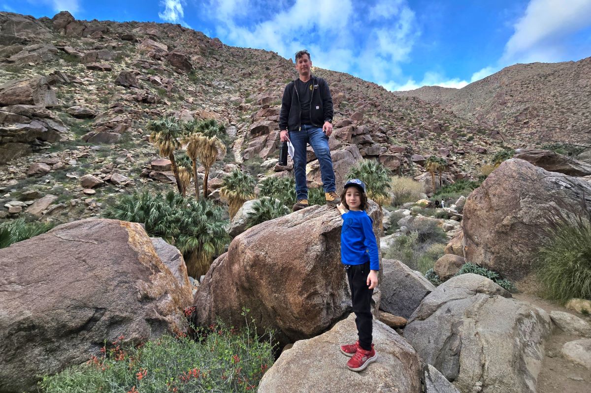
In early March, I visited Borrego Springs with my family to witness the wildflower blooms. We kicked off our adventure at the Borrego Palm Canyon Trail. I had wanted to go on this hike for a while, so I was thrilled to get to do so.
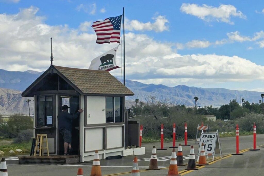
When we arrived at the forest service station, the ranger told us there weren’t many wildflowers along the trail yet, but it was still worth hiking. So, we made our way to the trail and loved every minute of this hike.
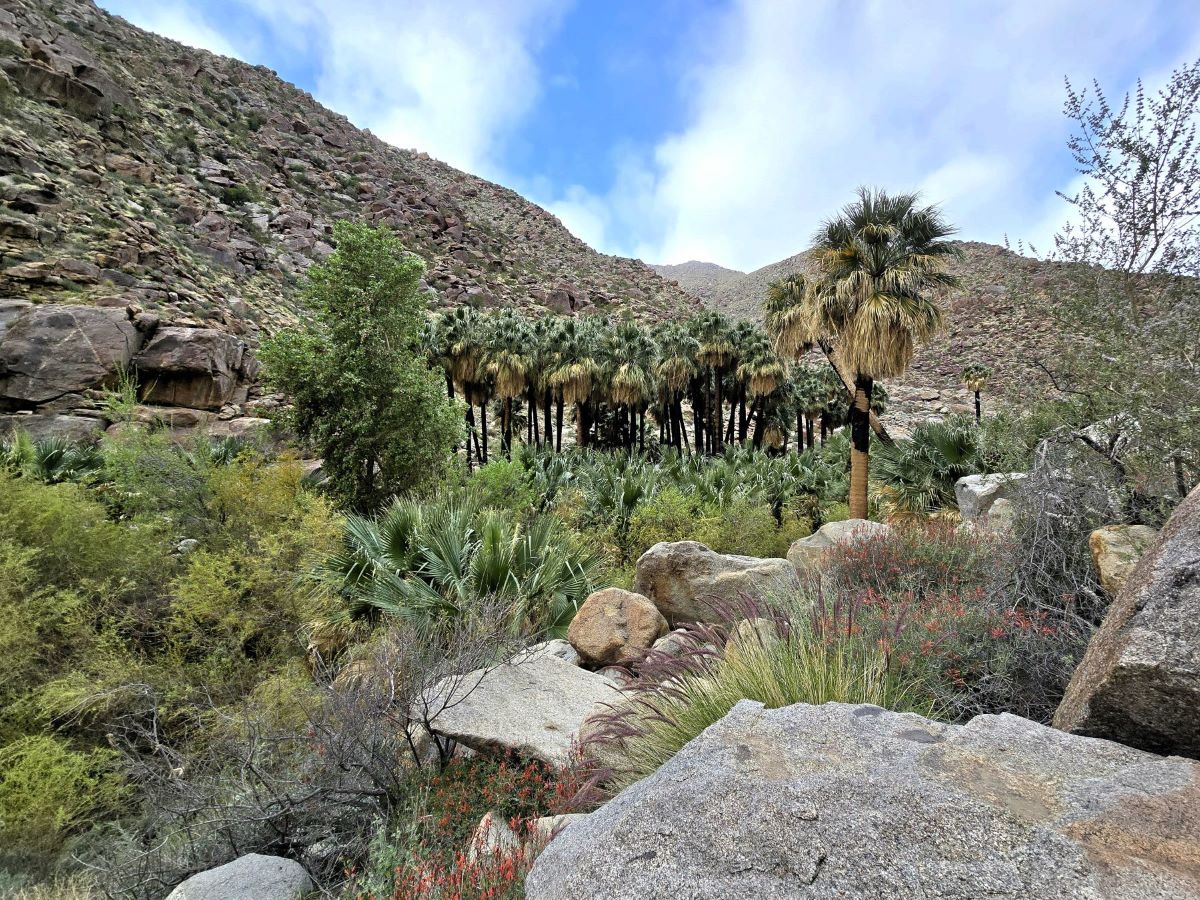
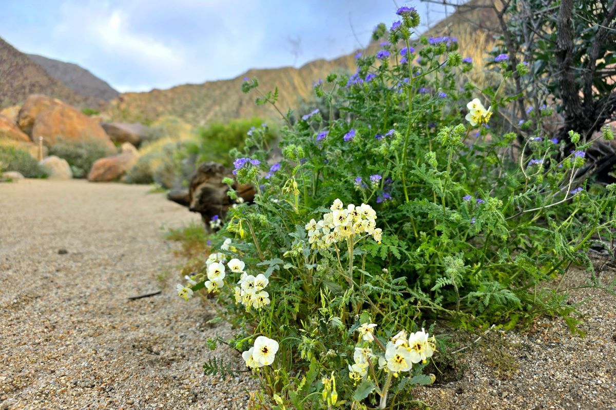
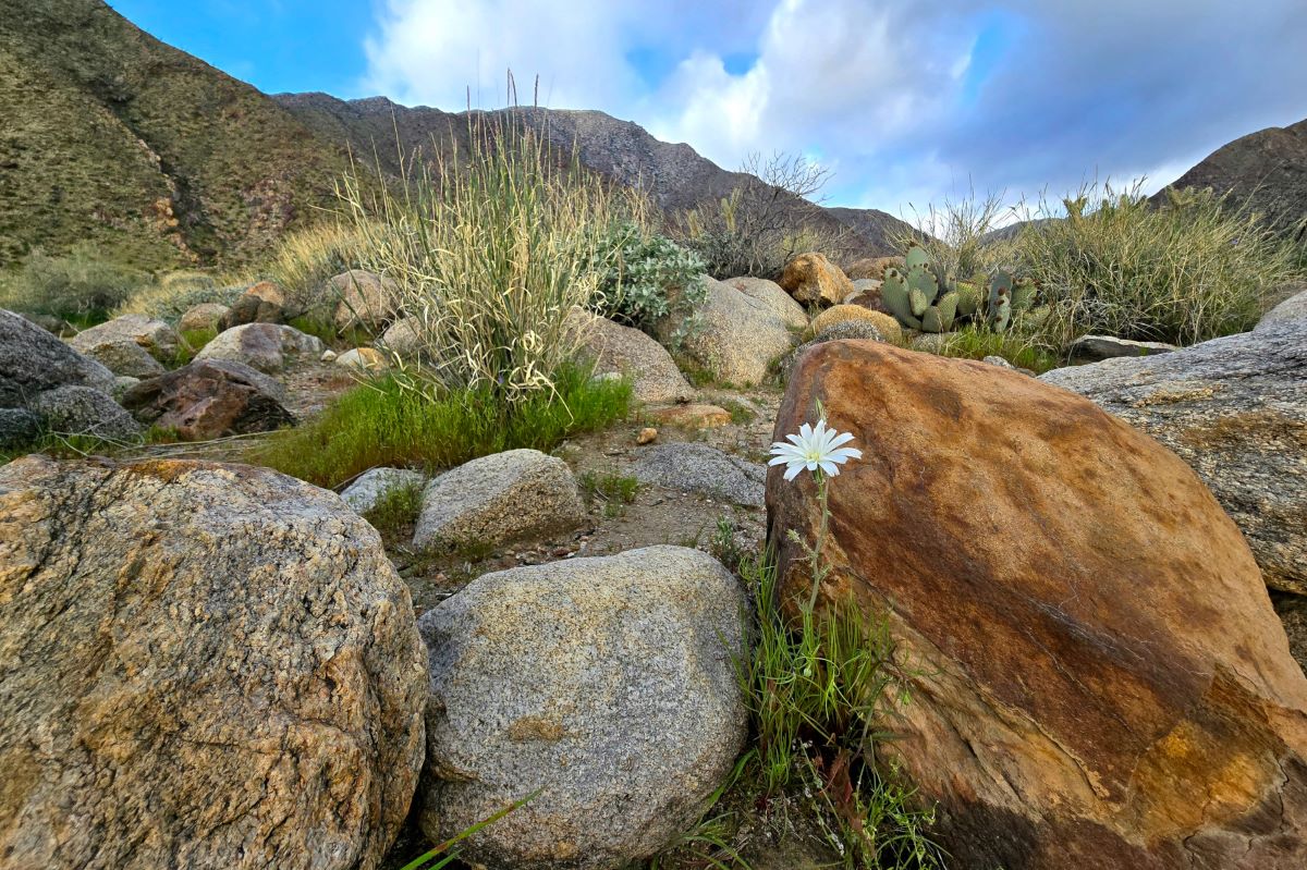
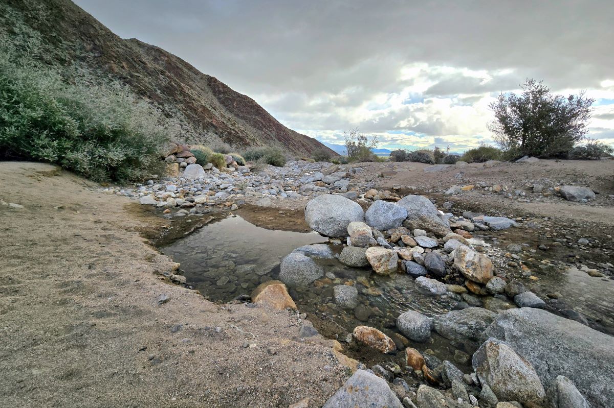
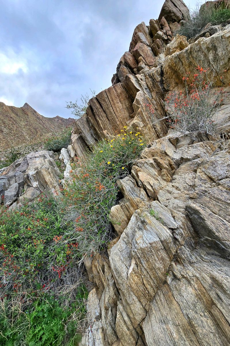
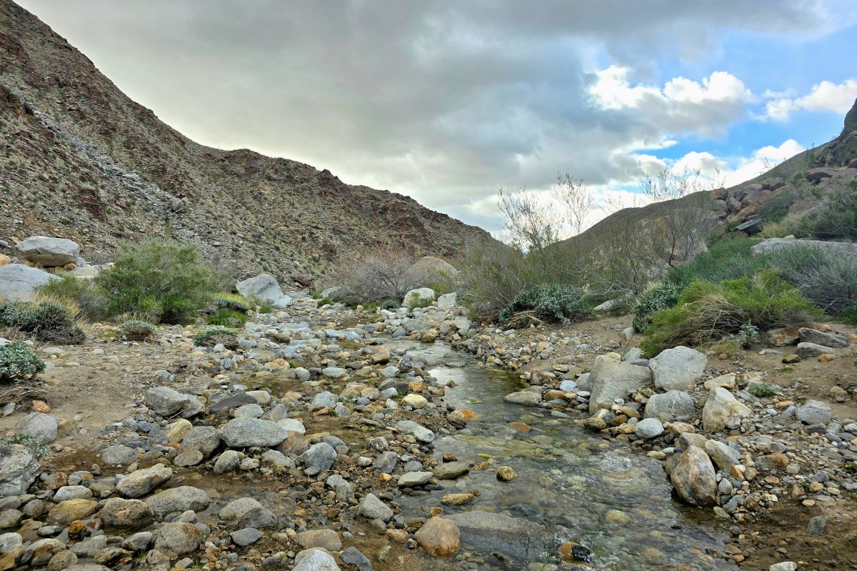
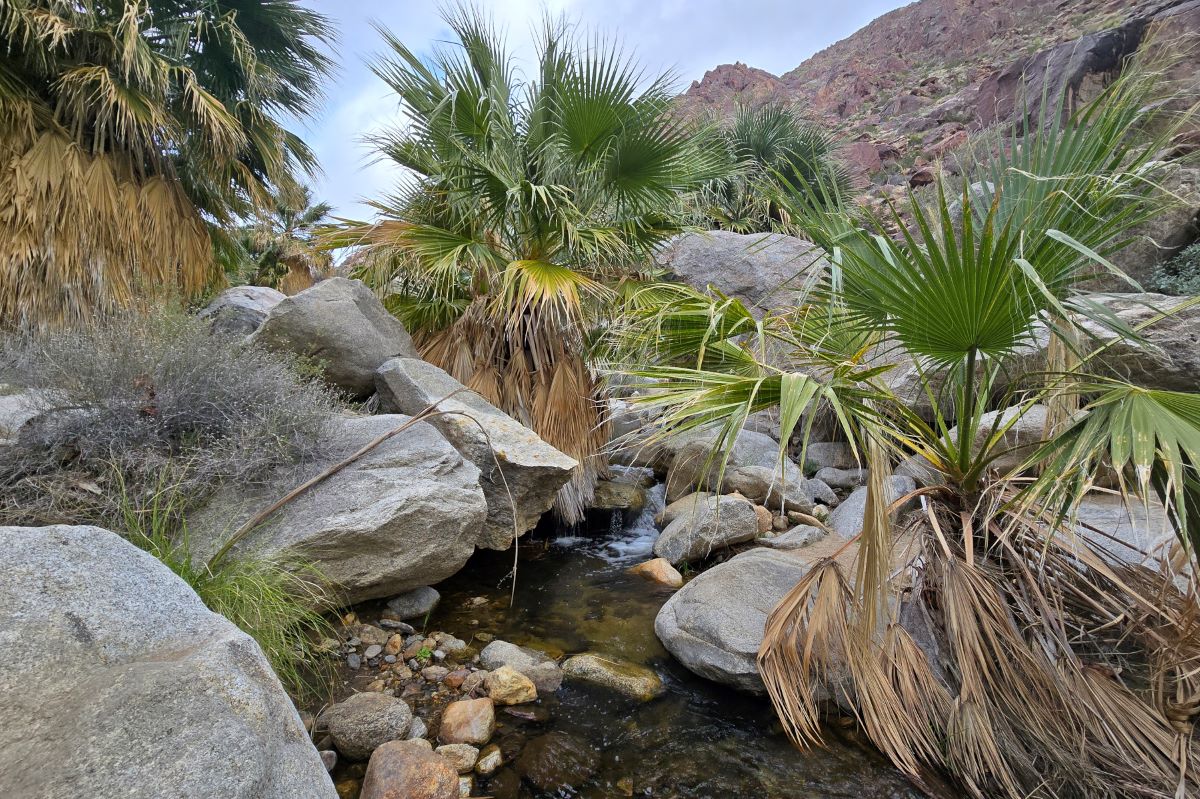
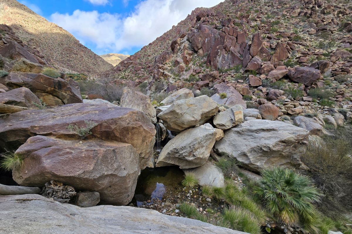
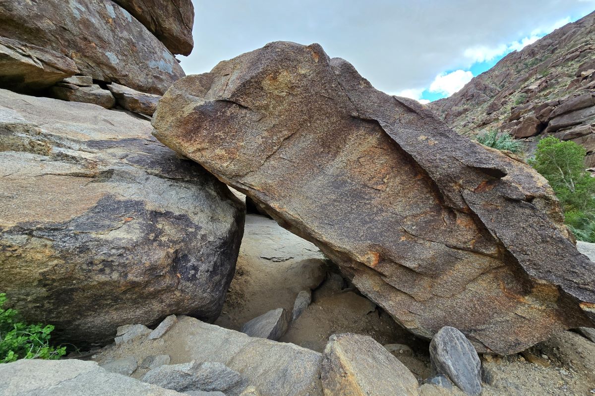
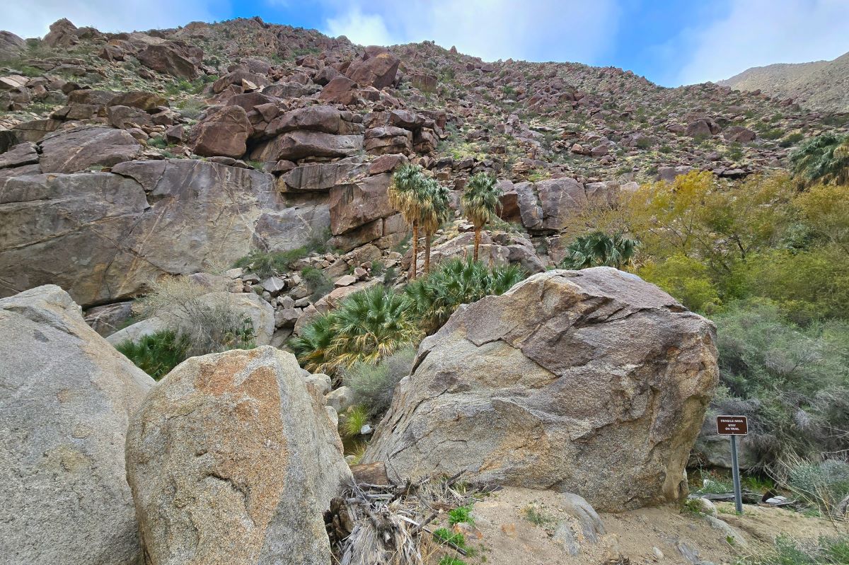
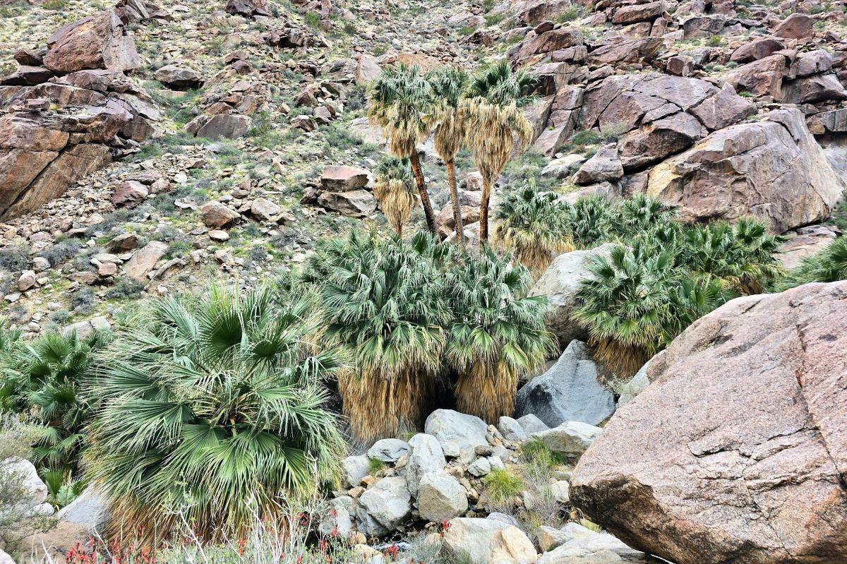
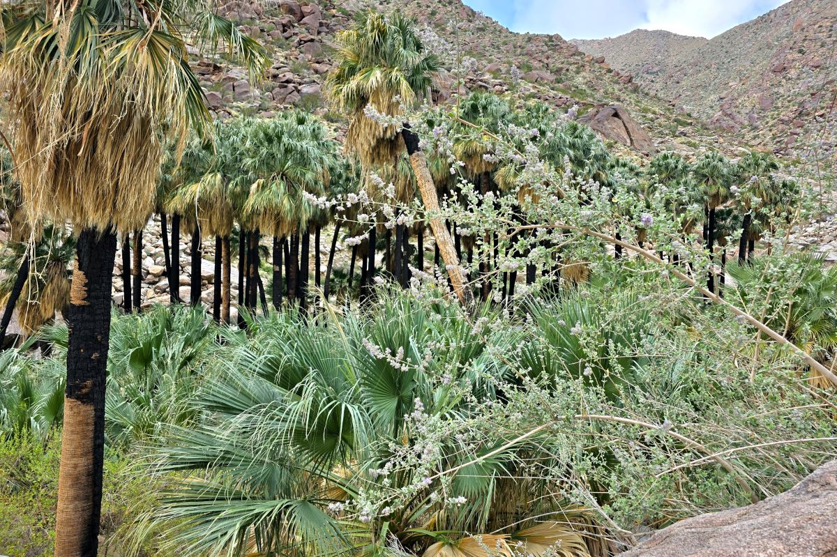
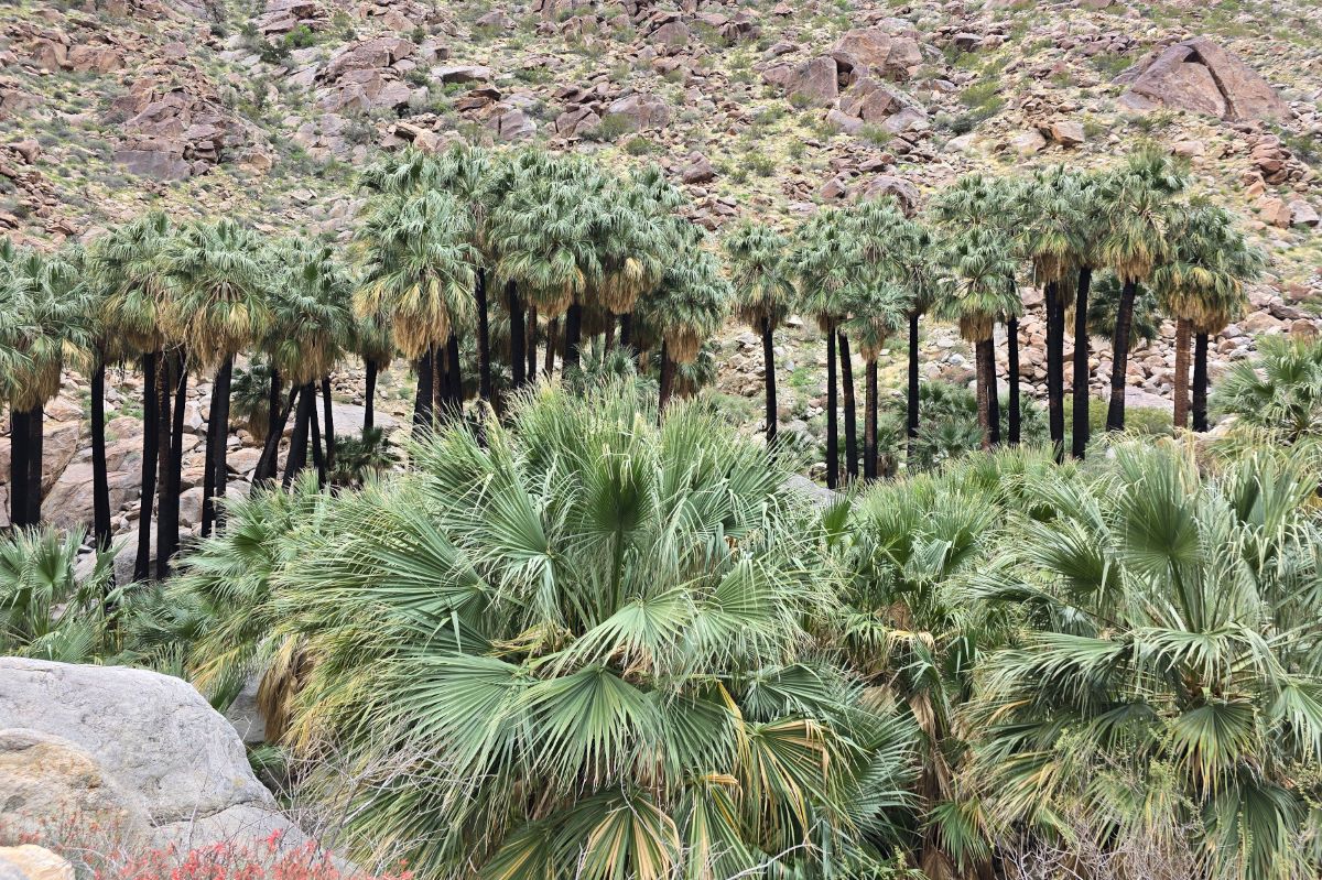
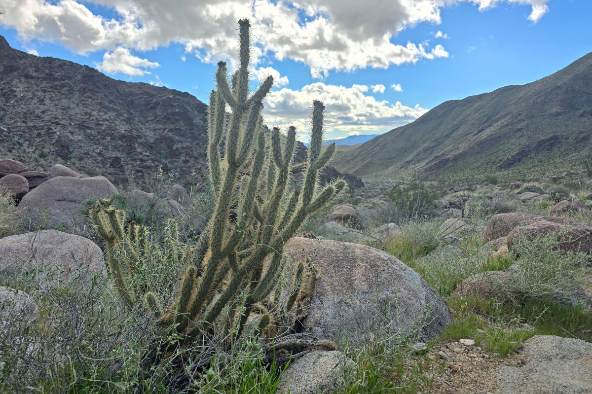
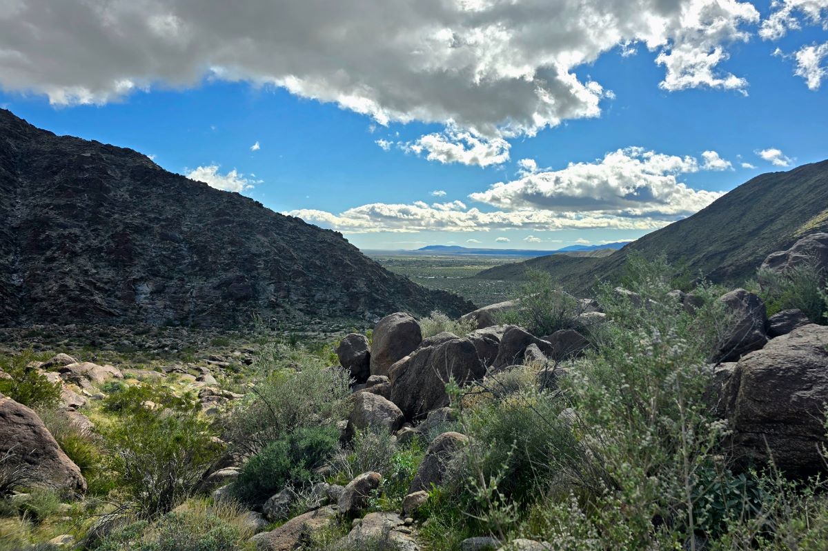
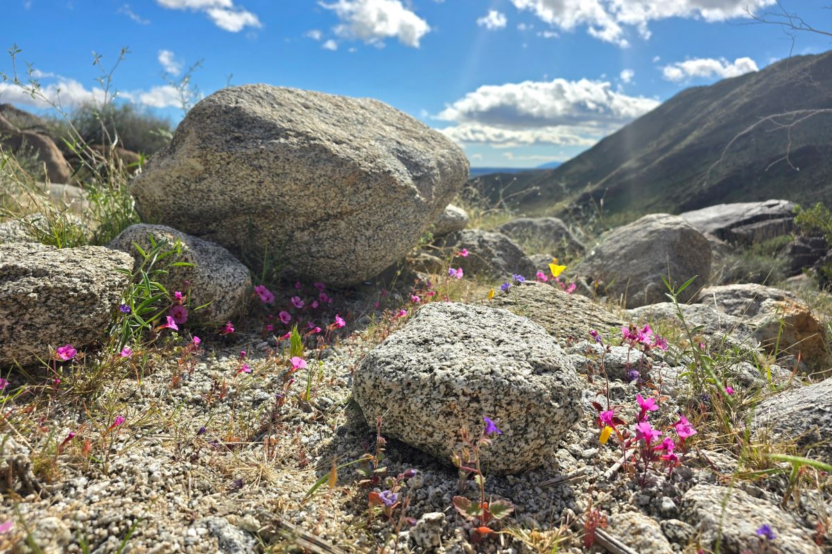
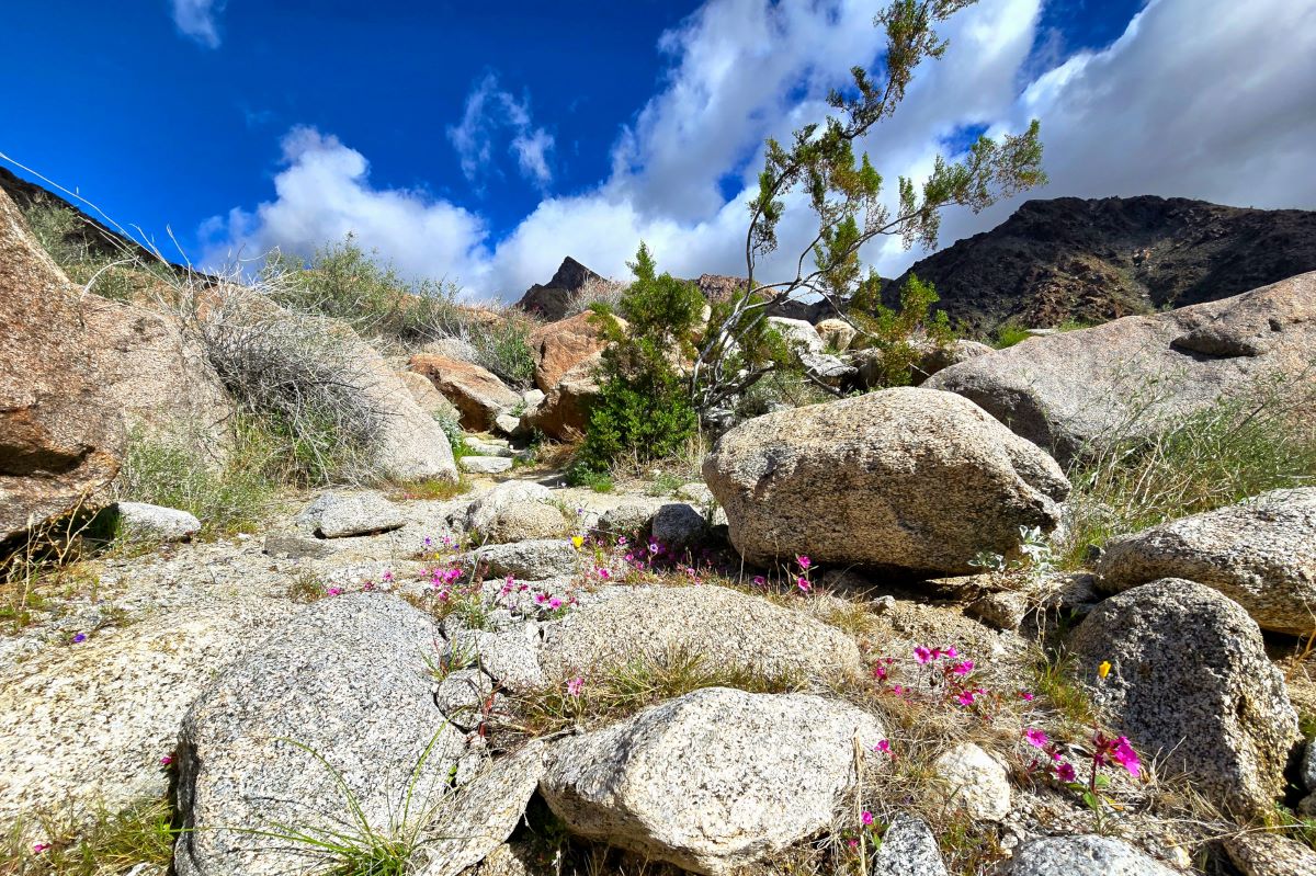
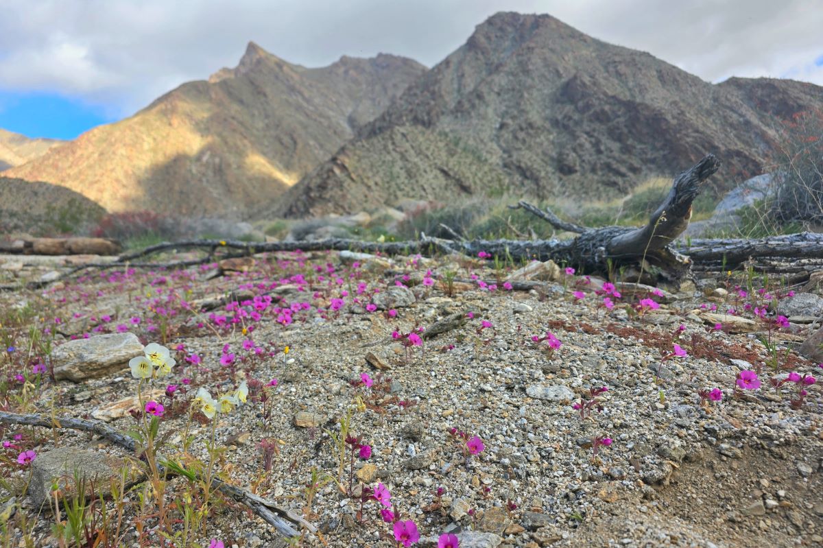
The trail offers breathtaking views of the surrounding landscape, including stunning rock formations, vibrant wildflowers, lush plants, flowing streams, waterfalls, and California fan palm trees (the only palm tree native to California). We also enjoyed picturesque views of Anza-Borrego. Interestingly, this trail is known to have sightings of long-horn sheep. I was really hoping to see one, but no such luck this time.
Every time we visit Anza-Borrego, I am even more impressed by its unique beauty. It has quickly become one of my favorite destinations, and I am lucky it’s just two hours away from where I live!
Borrego Palm Canyon Trail Quick Summary
Length: 2.9 miles
Difficulty: Moderate to difficult
Time to Complete: 2 hours
Cost: $10 paid at ranger station at entrance
Parking: Paved parking lot
Bathrooms: Yes, near the parking lot (no stall doors)
Kid Friendly: Yes
Dog Friendly: No
Cell Service: Very little to no service
4WD required: No
Tip: Download the trail map or get a paper one from the ranger. It’s easy to get lost. I temporarily got lost after marker 13 and later ran into someone who was lost (separated from her group) and visibly upset by it.
Where is the Borrego Palm Canyon Trail?
From Christmas Circle in the heart of Borrego Springs, it’s about a 10-minute drive. We stayed at La Casa Del Zorro, and it was a 15-minute drive from there.
How much does it cost?
The Anza-Borrego Desert State Park fee is $10. When you arrive at the entrance, there’s a Forest Service station with a ranger. We used a credit card to pay for the day pass. On the date of purchase, you can use your pass in all fee areas in Anza Borrego Desert State Park.
When to arrive
If you like to explore trails without a crowd, it’s best to start early in the morning. We began our hike at 8:00 a.m., which allowed us to enjoy the place and only pass a few other hikers. On our way back, we took the alternate route and noticed quite a few people just beginning their hike around 9:30 a.m. The parking lot was already full by 10 a.m.
Exploring the Borrego Palm Canyon Trail
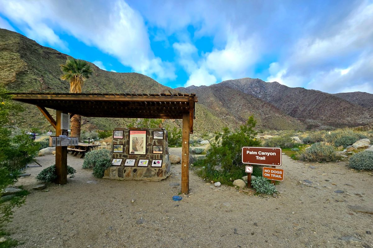
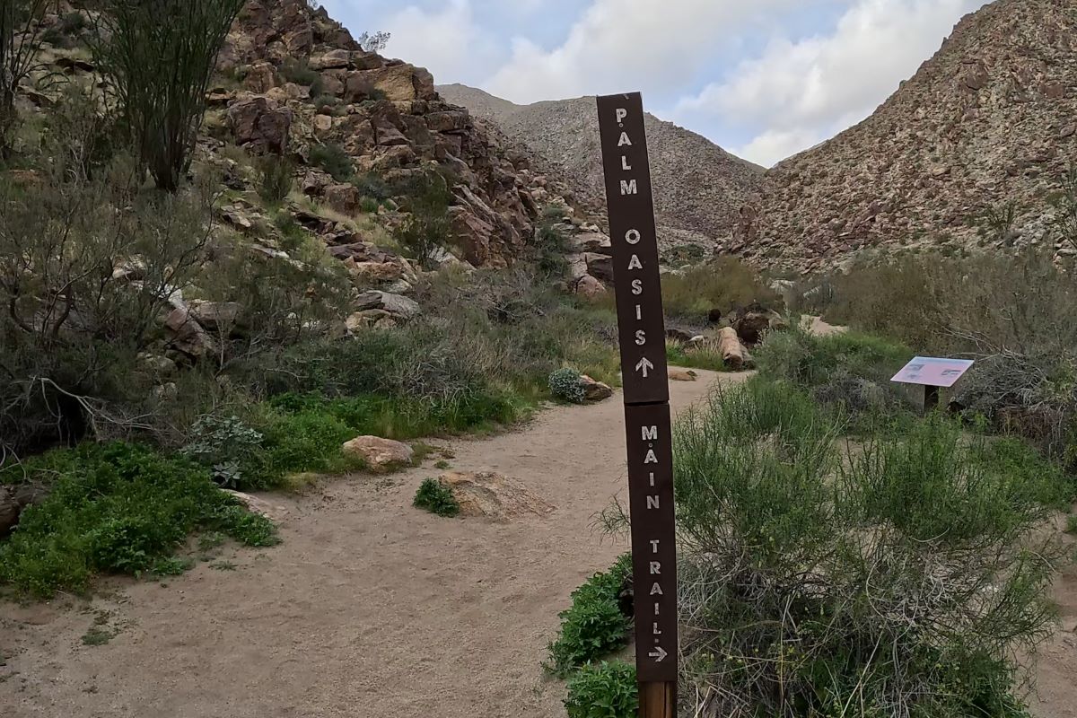
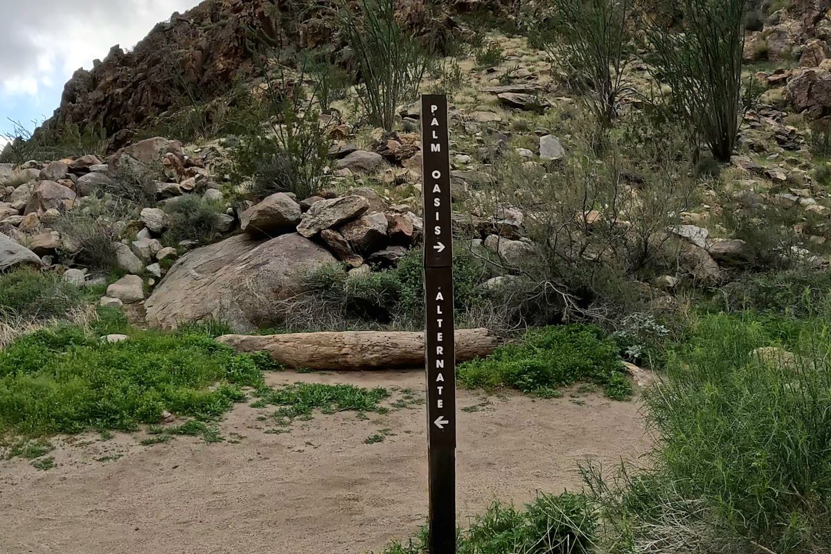
It’s easy to locate the trailhead from the parking lot, and you have two options to start your hike. You can either take the main trail or choose the alternate trail. Although we didn’t see the alternate trail, it’s at the left end of the parking lot if you’re facing north.
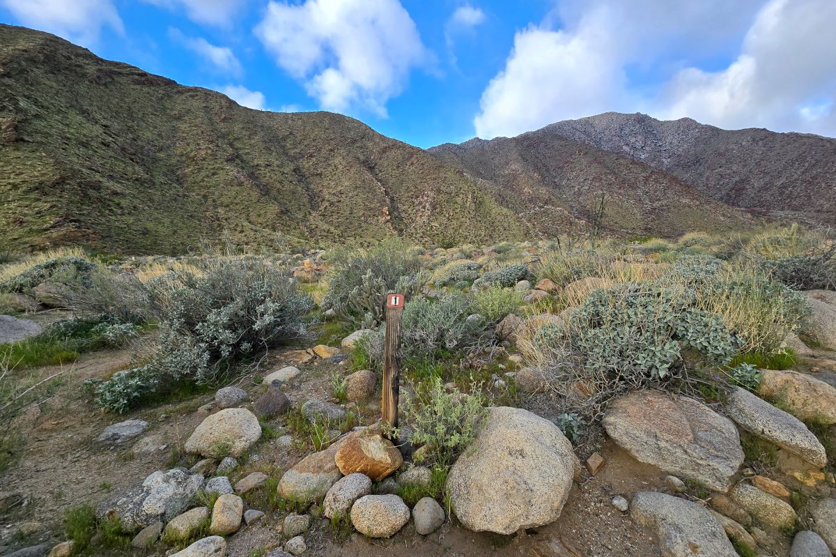
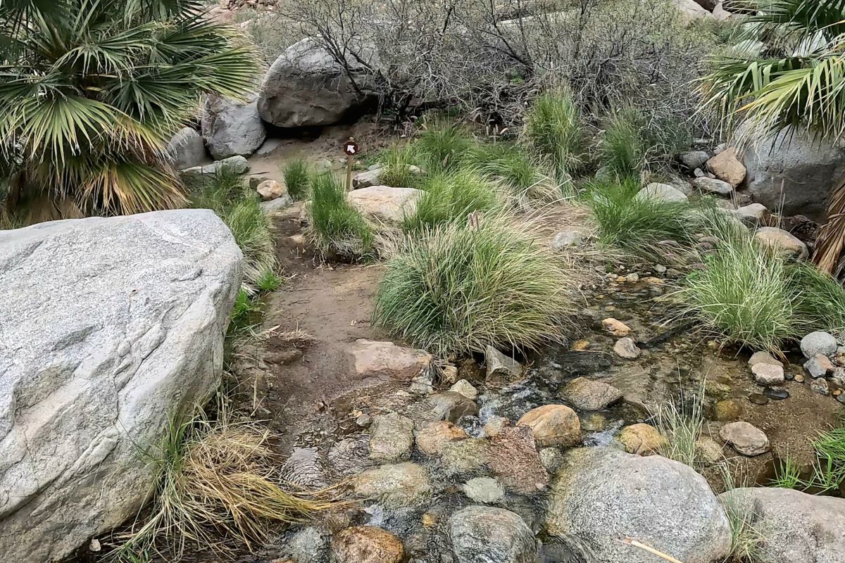
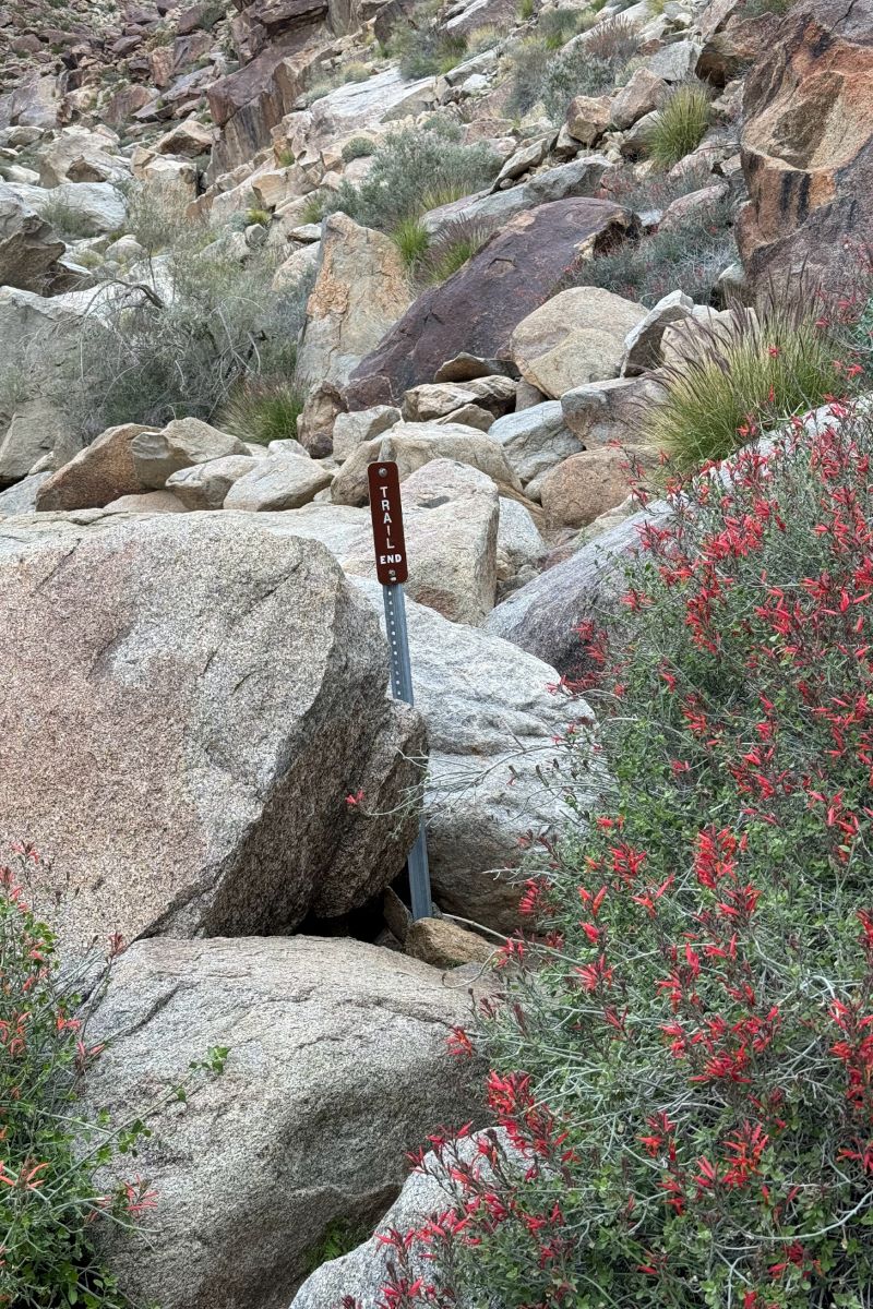
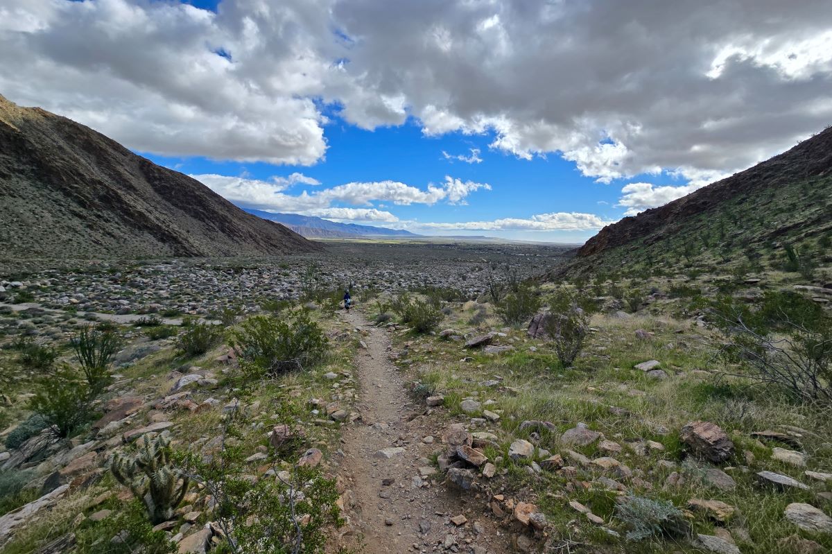
Both trails are about a mile to the junction where they meet again and 1.5 miles to the Palm Canyon Oasis. On the way to the oasis via the main trail, you’ll pass 15 markers.
Taking the main trail to the oasis and the alternate trail back worked well for avoiding crowds. If we had returned on the main trail, we would’ve passed lots of people starting their hike.
Trail Map
Preview of the Borrego Palm Canyon Trail
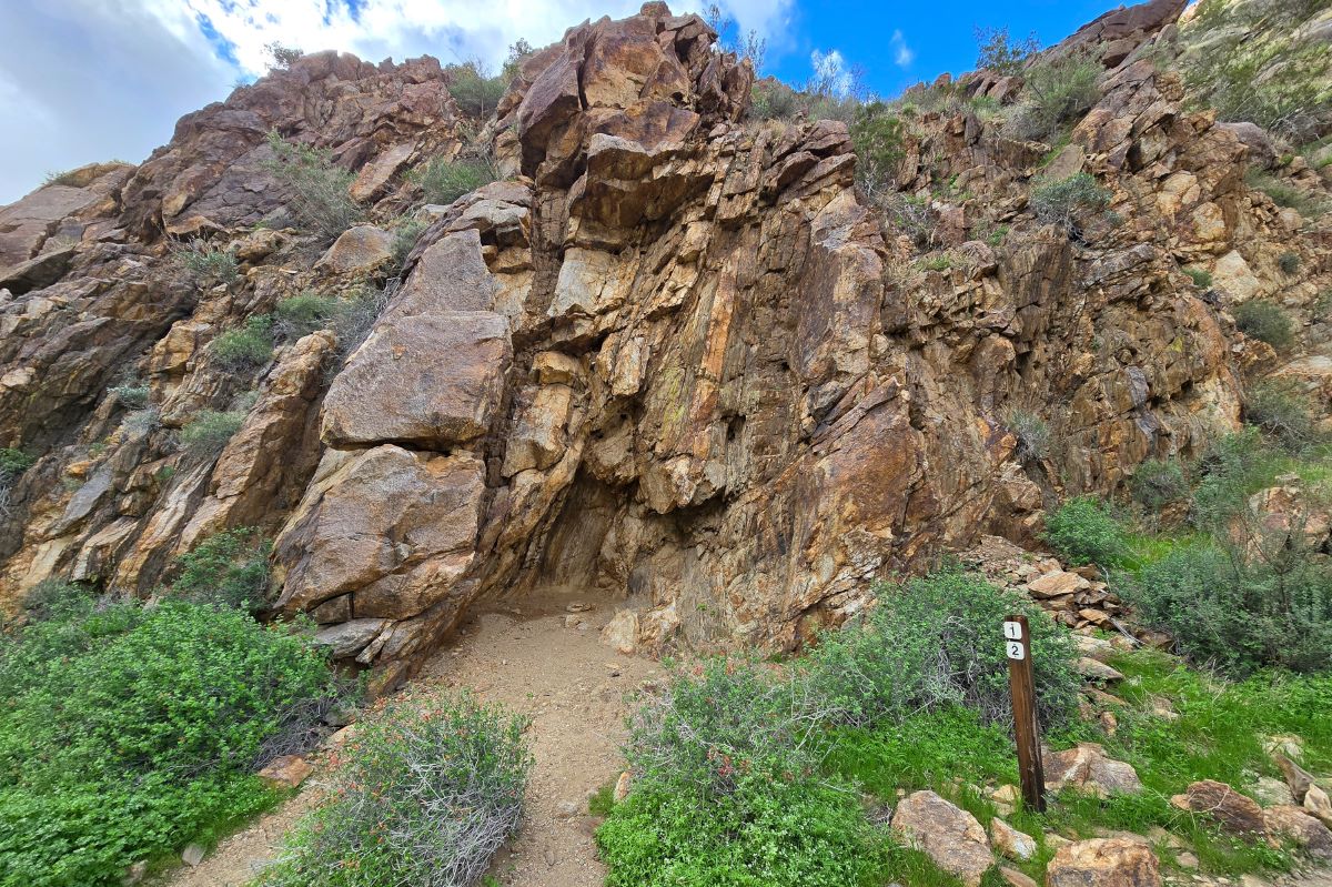
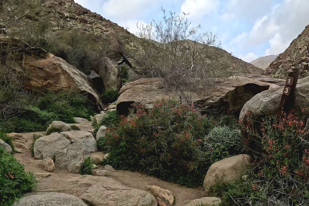
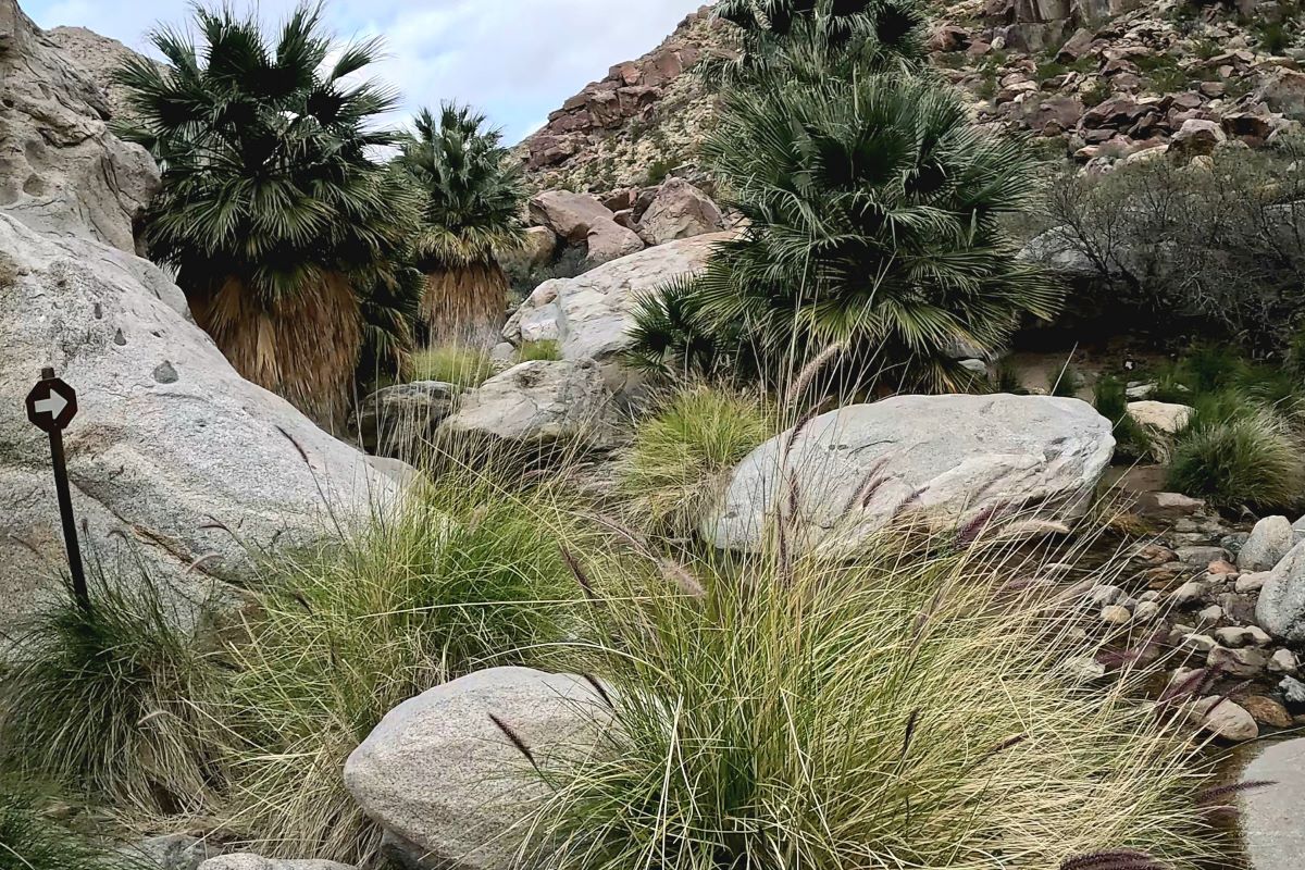
Main Trail: Markers 1 through 12
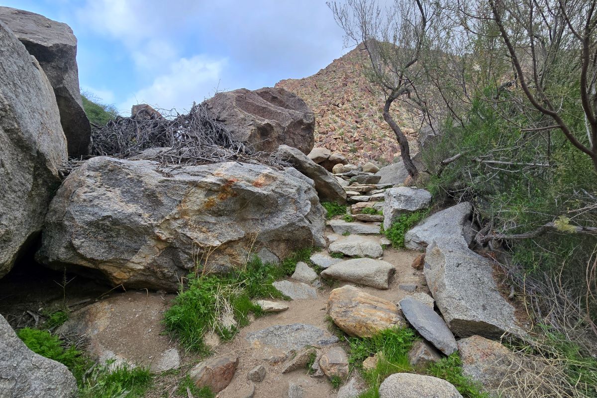
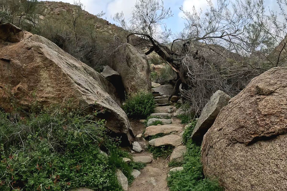
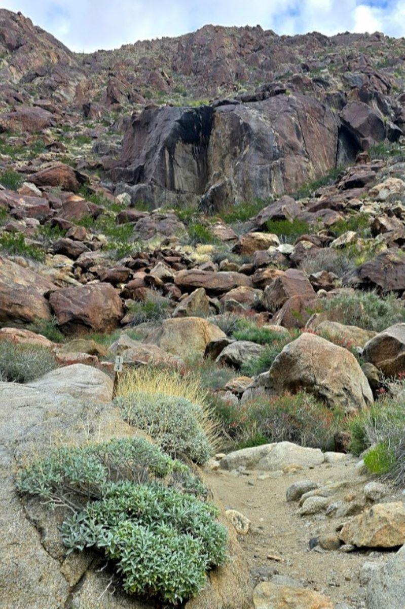
Main Trail: Markers 13-15
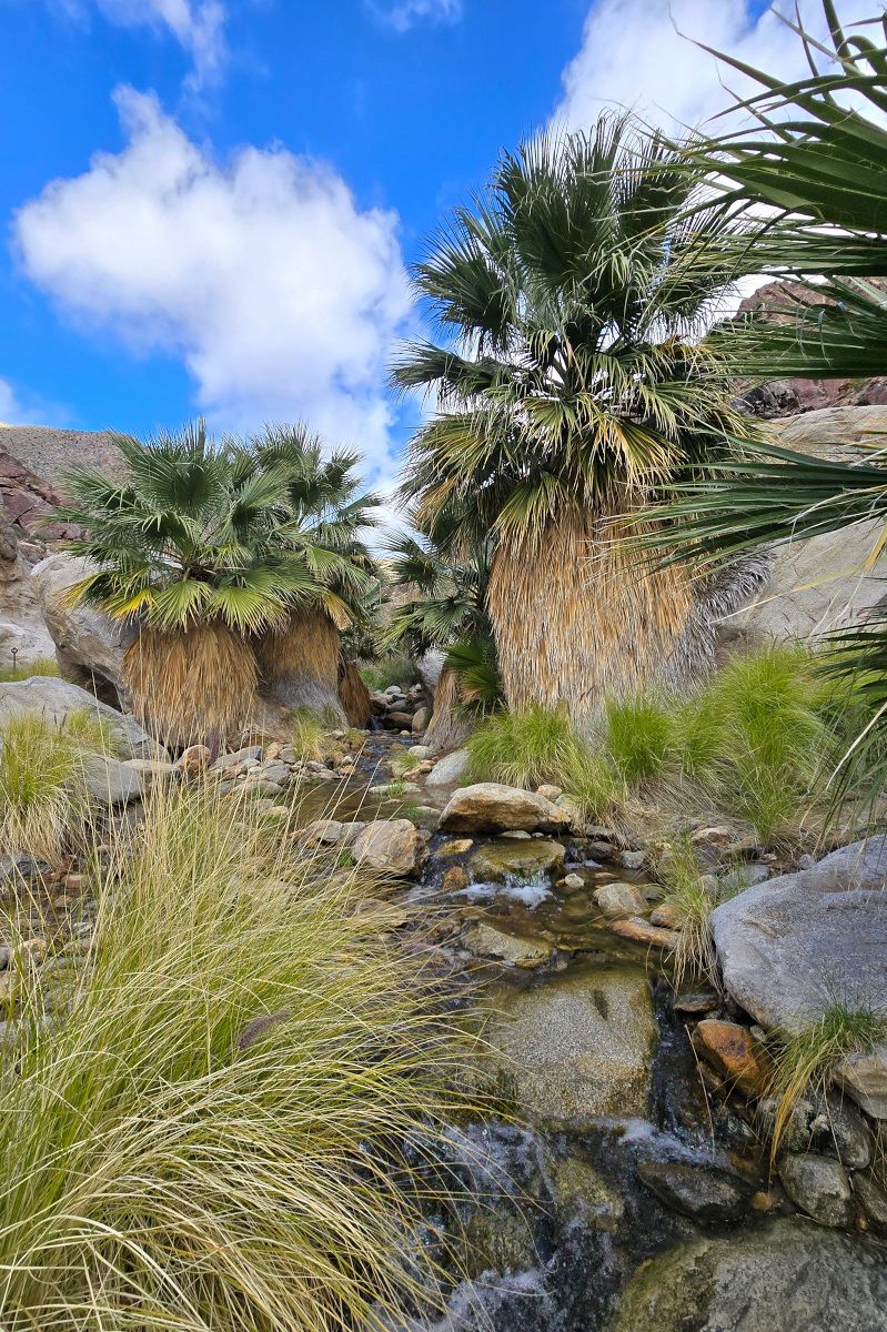
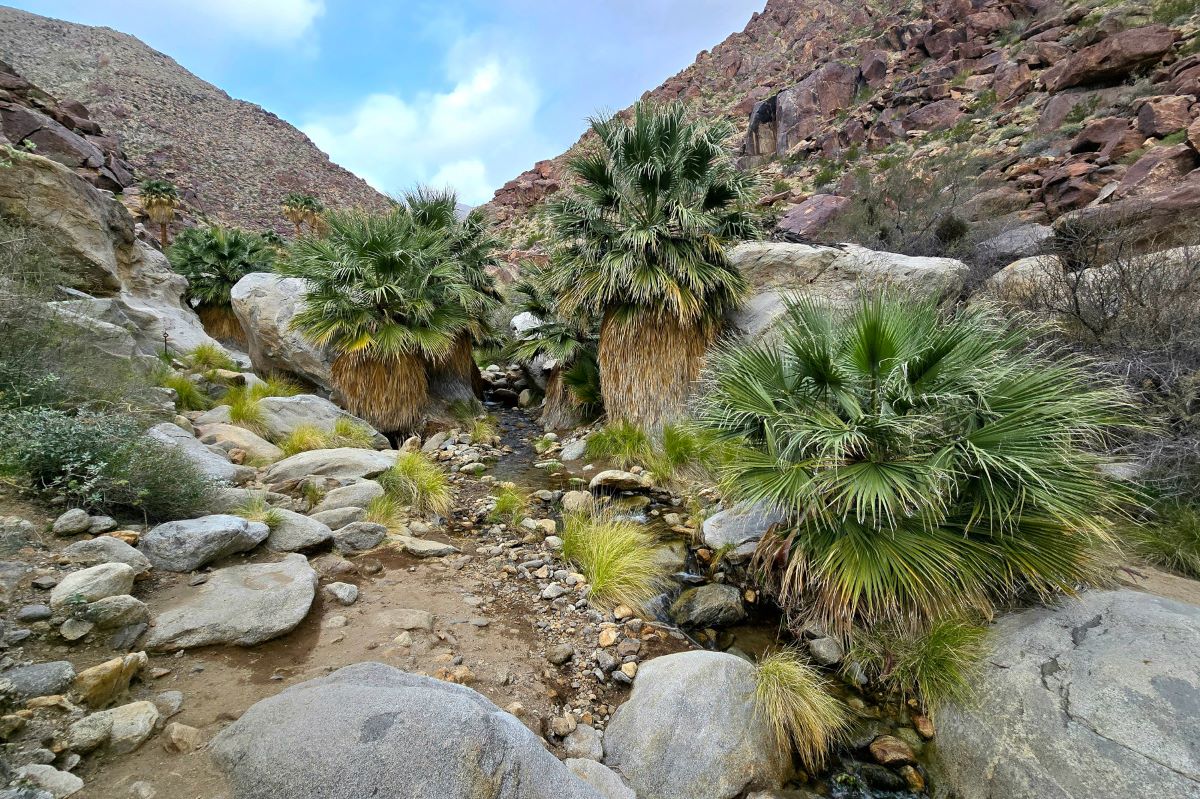
Palm Oasis
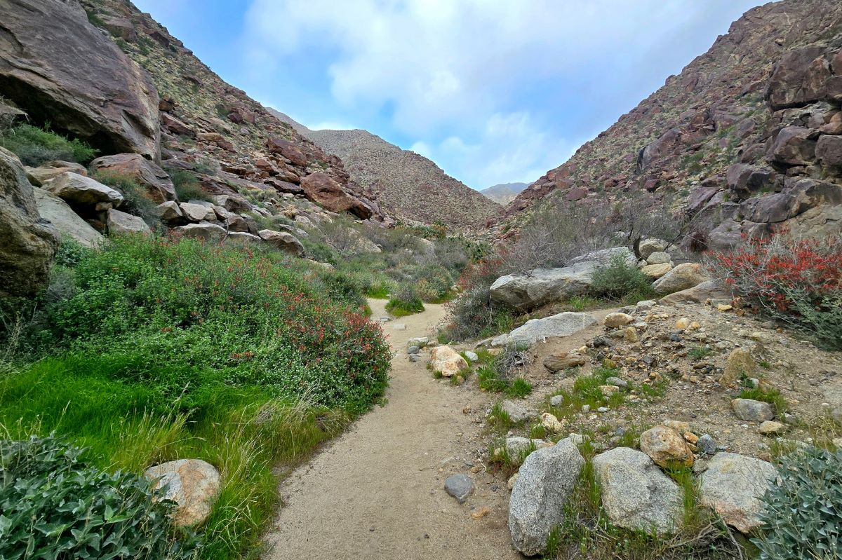
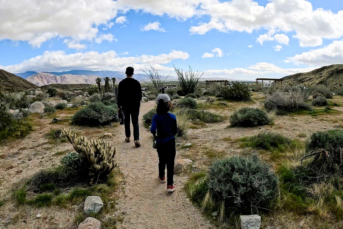
Alternate trail back to the parking lot
Oops, I took a detour
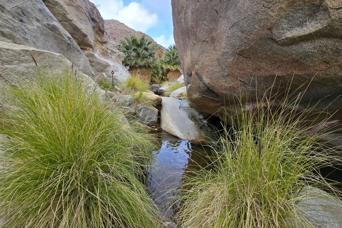
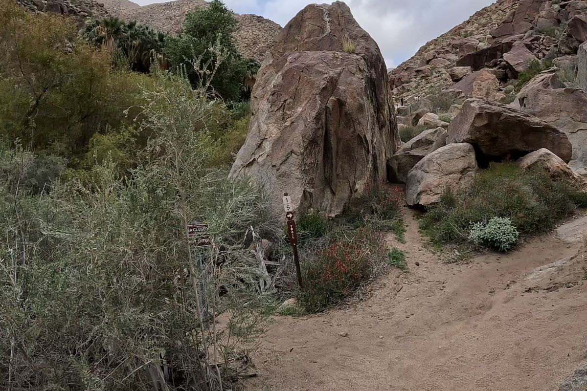
I got a little lost between markers 13 and 14 and ended up on the left side of the stream. The stream was a little more difficult to cross in his area (where I shouldn’t have been), and I was starting to get a little nervous with some of the tricky steps I had to take to cross. Once I started to realize I had wandered off the trail, I tried to call my husband, who was ahead of me with my son, but I didn’t have cell service.
After crossing back and forth a few times in a slightly panicked state, I finally found my way back to the trail on the right side of the stream. Once you pass marker 13, follow the arrows to cross the stream and continue walking straight ahead, up the small hill and away from the stream. After that, you’ll need to curve left after spotting marker 14 behind a big boulder.
Towards the end of the trail, I ran into a woman who was looking for her group. Somehow, she strayed from them and didn’t have cell reception to call. It seemed like she had been wandering around for a while and was scared and upset. She decided to head back to the parking lot and wait for them to return.
Tip: The ranger station will give you a paper map. If you think you might get separated from your group, ask for more than one. You can also download the trail from AllTrails and access it offline.
Difficulty
This trail was moderately difficult. Some parts were flat and easy, and some were rocky, with varying steps to climb up or down. There are a few places where you’ll have to cross the stream, but there were enough rocks to walk across easily. I only felt this trail was difficult when I got lost between markers 13 and 14 and had to jump across some larger boulders in the stream. So, don’t get lost. LOL.
What to bring
- Large water bottle
- Map of the trail
- Sunscreen
- Backpack
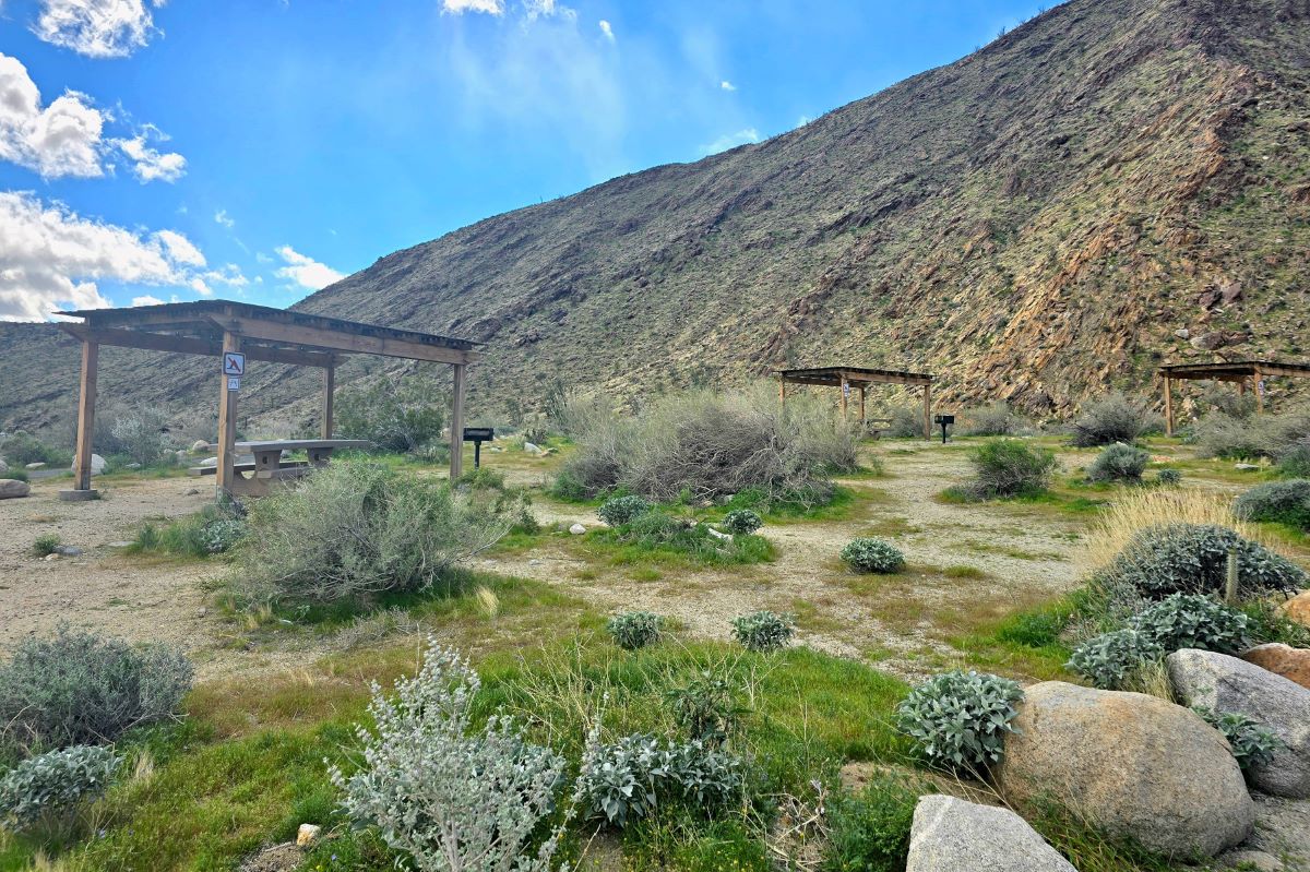
Picnic tables
After you complete the hike, there are several shaded picnic tables near the parking lot. This would be a nice spot to enjoy a packed lunch or snacks.
Related posts to help you plan a trip to Borrego Springs
- How to Have the Best Weekend in Borrego Springs, California
- How to Easily See All of the Galleta Meadows Sculptures
- Wildflowers in Anza-Borrego – A Bucket List Worthy Experience!
- La Casa Del Zorro: Your Ultimate Borrego Springs Retreat
- How to Hike the Slot Canyon Trail in Borrego Springs